Technology
Lidar Explained: Seeing the Road in 3D
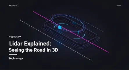
Explore Lidar, the laser-based sensor technology that allows self-driving cars to create precise 3D maps of their surroundings for safe navigation.
What is it?
Lidar, which stands for Light Detection and Ranging, is a remote sensing technology that uses pulsed laser beams to measure distances and create highly detailed three-dimensional maps of an environment. By sending out laser pulses and measuring the time it takes for them to reflect off objects and return to the sensor, a Lidar system can calculate precise distances. It then assembles these millions of data points into a real-time 'point cloud,' which is essentially a 3D digital model of the surrounding world.
Why is it trending?
Lidar is at the forefront of the autonomous vehicle revolution. While cameras provide color and texture and radar can see through poor weather, Lidar offers unparalleled accuracy in distance measurement and object detection, day or night. This precision is critical for self-driving cars to safely navigate complex environments, identify pedestrians, and avoid obstacles. As the race to develop fully autonomous cars intensifies, and the cost of Lidar sensors continues to fall, its adoption by automakers and tech companies has surged, making it a key trending technology.
How does it affect people?
Lidar's impact extends directly to public safety and convenience. It is a cornerstone technology for advanced driver-assistance systems (ADAS) and the development of self-driving cars, which aim to significantly reduce traffic accidents caused by human error. By enabling vehicles to 'see' with superhuman precision, Lidar promises a future with safer roads and more efficient transportation. Beyond cars, this technology is also being used in fields like urban planning, archaeology, and environmental monitoring, changing how we map and understand our world.